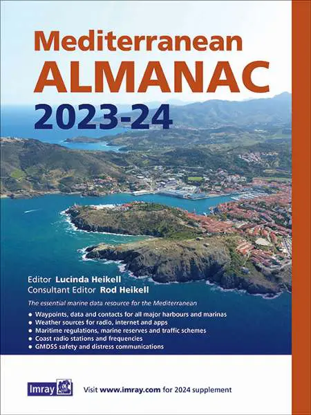
Mediterranean: Mediterranean Almanac


The essential marine data resource for yachts sailing the Mediterranean.
This new edition is a slimmed down version of the original almanac, with all non-changing information typical of an almanac now making up the Mediterranean Cruising Handbook. Information for the 2023 includes:
- Data, waypoints and contacts for all major harbours and marinas throughout the Mediterranean Sea plus Atlantic Islands.
- Harbour plans for a selection of major harbours and popular small boat harbours.
- Weather sources for radio, internet and apps.
- Information on lights and buoys.
- Maritime regulations, marine reserves and traffic schemes.
- Coast radio stations and frequencies.
- GMDSS safety and distress communications.
Bear in mind this is an overview of the whole Mediterranean – an excellent resource if planning a Med cruise and wanting to quickly discover what paperwork is required, the best routes and distances between ports, availability of decent harbours and brief details, contact information, tidal streams and much more. It’s full of useful addresses, phone numbers, resources and much-needed reference for weather forecasts, emergencies and EU rules – saving hours of time sourcing these details on the web. However, while this will safely get you around the Med and help you plan, if exploring a particular region you will need the relevant pilot for that country or area, plus web-based resources to find out more country and harbour information.
A supplement for the 2nd year of the almanac will appear on the Imray website towards the end of 2023 [www.imray.com].
Author: Edited by Rod and Lucinda Heikell
Publisher: Imray (13th edition, 2023-2024)
ISBN: 9781786794420

